To evaluate safety before relocating to Birmingham, access official datasets from Police.uk, the Office for National Statistics (ONS), and West Midlands Police. These platforms provide localized, street-level monthly crime reports, clear historical trend analyses, and precise geographic breakdowns for every ward.
- How Does Birmingham’s Crime Rate Compare to National and Regional Averages?
- What Strategic Steps Should You Take When Evaluating a Neighbourhood’s Safety Profile?
- Which Digital Mapping Tools Provide the Most Accurate Street-Level Safety Data?
- How Do Physical Infrastructure and Urban Design Impact Local Area Safety?
- What Role Do Local Community Groups and Policing Teams Play in Neighbourhood Security?
- How Does Public Transport Safety Affect Specific Neighbourhood Safety Ratings?
- What Are the Most Common Types of Crime Reported Across Birmingham Suburbs?
- How Can In-Person Site Visits Reveal Hidden Neighbourhood Safety Factors?
- How safe is Birmingham for families relocating with young children?
- What is the most effective way to check street-level crime for a specific Birmingham postcode?
- Does living near a Birmingham train station increase local property crime risks?
- How can keyless car theft be prevented in Birmingham residential driveways?
- Are Birmingham city council park spaces safe to walk through after dark?
Checking municipal crime datasets requires accessing authoritative public repositories that track recorded offences across the West Midlands. Police.uk acts as the primary digital clearinghouse, allowing users to enter specific Birmingham postcodes to view mapped incidents from the preceding twelve months.
The Office for National Statistics provides macro-level quarterly analyses that contextualize local trends against national averages across England and Wales. West Midlands Police publishes targeted neighbourhood performance statistics and neighbourhood policing team priorities.
Relying on primary government datasets prevents skewed interpretations often found on open discussion boards. Official figures categorize offences into distinct divisions including anti-social behaviour, vehicle crime, burglary, and public order incidents.
Evaluating multi-year data trends reveals whether crime in a given ward is increasing, stabilizing, or declining over time. Cross-referencing Police.uk map coordinates with ONS quarterly updates gives movers an accurate, objective foundation for assessing real-world risk across different areas.
How Does Birmingham’s Crime Rate Compare to National and Regional Averages?
Birmingham records an overall annual crime rate of approximately 105 offences per 1,000 residents, which sits roughly 39% higher than the West Midlands regional average and 46% above the national baseline for England and Wales.
Urban crime distribution follows density patterns seen across major metropolitan areas in the United Kingdom. High-density commercial districts like the Birmingham City Centre handle elevated volumes of theft, shoplifting, and public order offences due to heavy foot traffic and active nightlife zones.
Outer suburban residential wards display significantly lower crime figures that fall well below national benchmarks. Areas such as Sutton Coldfield, Bournville, and Edgbaston maintain lower rate profiles compared to inner-city districts like Digbeth, Aston, or Handsworth.
Suburban residential neighbourhoods benefit from active community watch groups and lower commercial density. Comparing a specific ward to both the citywide average and national statistics provides crucial context before making housing decisions.
Evaluating crimes per 1,000 residents prevents misinterpreting raw incident numbers in heavily populated metropolitan areas. A high population density naturally results in higher total recorded offences without necessarily indicating higher personal risk for residents in surrounding quiet streets.
What Strategic Steps Should You Take When Evaluating a Neighbourhood’s Safety Profile?
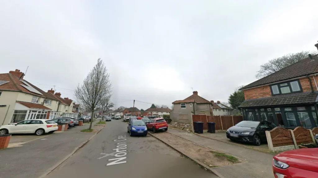
Conducting a structured safety evaluation requires systematically analyzing official street-level crime maps, examining physical street infrastructure during day and night visits, evaluating local transport hub security, and reviewing property-level security measures across the target area.
Begin your evaluation by downloading twelve months of street-level crime data for your target postcode via Police.uk. Look beyond headline figures to analyze specific incident types, focusing closely on residential burglary, vehicle theft, and violence.
Follow up with structured physical site visits at varied times. Conduct initial daylight walks to inspect property maintenance, environmental cleanliness, secure boundaries, and visible security cameras or alarms on neighboring homes.
Return after sunset to test public street lighting coverage, observe pedestrian activity, and assess traffic flows near local train stations or bus routes. Poorly lit access pathways and neglected communal spaces often correlate with higher anti-social behaviour rates.
Conclude your research by evaluating local transport security, including West Midlands Network stops and commuter parking facilities. Speaking directly with local shop owners or residents provides practical insights into daily neighbourhood conditions that static statistics might miss.
Which Digital Mapping Tools Provide the Most Accurate Street-Level Safety Data?
Police.uk, the West Midlands Police Neighbourhood Dashboard, and independent mapping services like CrimeRate UK deliver the most precise street-level crime insights by plotting verified police incident logs directly onto interactive geographic maps.
Digital mapping platforms transform raw police spreadsheets into clear visual intelligence. The primary tool, Police.uk, maps recorded incidents down to specific streets, public spaces, and commercial intersections while maintaining victim anonymity.
Users can isolate specific crime categories, such as vehicle crime or burglary, over customized timeframes to spot hyper-local problem areas. The West Midlands Police Neighbourhood Dashboard builds on this by providing monthly updates on local policing initiatives and neighborhood priorities.
Independent platforms aggregate official police datasets alongside demographic and property metrics. These services calculate localized crime scores per 1,000 work-day residents, helping buyers compare different postcodes accurately.
Interactive heat maps highlight spatial clustering around high-density locations like shopping complexes, late-night entertainment hubs, and major transit interchanges. Using these tools helps movers identify whether recorded crimes are concentrated on specific commercial strips or spread evenly throughout quiet residential streets.
How Do Physical Infrastructure and Urban Design Impact Local Area Safety?
Well-maintained street infrastructure, functional LED lighting, clear line-of-sight urban planning, active natural surveillance, and secured alleyways significantly reduce local property crime and deter anti-social behaviour across residential sectors.
Urban safety relies heavily on environmental design principles that influence human behaviour. Neighbourhoods designed with clear sightlines, open street layouts, and active frontages encourage natural surveillance, as residents can easily observe public spaces from their homes.
The Crime Prevention Through Environmental Design framework demonstrates that visible territorial boundaries—such as well-maintained fences, gated rear access lanes, and clear property lines—discourage trespassers and opportunistic break-ins.
Conversely, physical neglect often signals reduced community oversight. Broken streetlights, uncollected waste, overgrown vegetation blocking pathways, and vandalized public property create hidden spaces and lower the perceived risk for offenders.
Upgraded LED street lighting programs implemented by Birmingham City Council improve visibility along residential footpaths and near bus stops. Secure rear alley gating schemes in Victorian terrace streets significantly reduce burglaries by blocking hidden access points behind properties.
What Role Do Local Community Groups and Policing Teams Play in Neighbourhood Security?
Neighbourhood Policing Teams, local Neighbourhood Watch networks, and active Ward Advisory Boards maintain community safety through targeted patrols, crime prevention workshops, direct communication channels, and organized resident security initiatives.
Community-led safety infrastructure works alongside formal law enforcement to protect local areas. West Midlands Police operates dedicated Neighbourhood Policing Teams assigned to specific wards across Birmingham.
These teams host regular public meetings where residents can directly report safety issues, track open investigations, and shape local policing priorities. Officers also share localized security warnings through official communication platforms like WMNow.
Active Neighbourhood Watch schemes build strong community connections by encouraging residents to share safety tips and keep an eye on nearby properties. Areas with active watch groups display clear signage, run property-marking events, and maintain private resident communication channels.
These initiatives deter opportunistic criminals who target isolated homes. Community-led ward forums also coordinate directly with council teams to fix broken lighting, clear overgrown alleyways, and improve security around local parks.
How Does Public Transport Safety Affect Specific Neighbourhood Safety Ratings?
Public transport safety directly impacts a neighbourhood’s overall security profile, as high-volume transit hubs, bus interchanges, and unmonitored parking facilities often experience elevated rates of pickpocketing, vehicle theft, and public disturbance.
Transport corridors serve as primary entry points for residents, commuters, and visitors across Birmingham. Railway stations managed by West Midlands Railway and busy bus routes operated by National Express West Midlands handle thousands of daily passengers.
Major transit interchanges—such as New Street, Moor Street, and busy suburban stations like Selly Oak or Perry Barr—maintain dedicated security teams and extensive CCTV coverage to manage commuter safety.
However, smaller unstaffed commuter stations and dark bus stops can attract anti-social behaviour and vehicle crime in nearby commuter car parks. Safety evaluations should include checking transport security features, such as Help Points, bright lighting, clear sightlines, and active CCTV cameras.
The Safer Travel Partnership—combining West Midlands Police, Transport for West Midlands, and British Transport Police—actively monitors transit corridors. Checking safety records along your daily commute ensures complete peace of mind when traveling early in the morning or late at night.
What Are the Most Common Types of Crime Reported Across Birmingham Suburbs?
Vehicle crime, opportunistic residential burglary, anti-social behaviour, and non-violent theft represent the vast majority of reported offences across residential Birmingham suburbs.
Property crime patterns in residential suburbs differ significantly from busy central commercial zones. Vehicle crime remains a key focus across affluent suburbs like Edgbaston, Harborne, and Solihull border zones.
Thieves frequently target modern vehicles using relay devices to capture keyless entry signals through front doors and windows. Installing Faraday pouches and steering wheel locks provides effective protection against these non-destructive theft techniques.
Burglary figures show that many break-ins are opportunistic rather than planned forced entries. Unlocked side gates, insecure patio doors, ground-floor windows left open, and dark unlit driveways attract unwanted attention.
Anti-social behaviour typically clusters around unmonitored public parks, vacant buildings, or late-night retail locations. Understanding these common suburban risk patterns allows homeowners to implement simple, targeted security measures before moving in.
How Can In-Person Site Visits Reveal Hidden Neighbourhood Safety Factors?
In-person site audits uncover crucial safety indicators that online datasets miss, including ambient noise levels, afternoon traffic flows, residential maintenance standards, late-night street lighting coverage, and real-time community activity patterns.
While online data provides a strong analytical foundation, on-the-ground observations reveal the lived reality of a neighbourhood. Plan visits at key transition times: morning school commute hours, late afternoon dismissal times, and late weekend evenings.
Observe how traffic flows through residential streets and whether double-parking blocks visibility for pedestrians and drivers. Pay attention to property upkeep across the street, as well-maintained gardens and intact boundary walls indicate active home maintenance.
Nighttime visits offer essential insights into local lighting and social activity. Check whether council streetlights adequately illuminate footpaths, alley entrances, and parking areas.
Listen for excessive noise from nearby commercial venues, late-night takeaways, or main roadways. Take note of youth gathering spots near unlit park entrances or vacant buildings. Experiencing an area firsthand during off-peak hours gives you a clear, balanced picture before committing to a tenancy or purchase.
How safe is Birmingham for families relocating with young children?
Birmingham offers many family-friendly, low-crime suburban wards with strong community networks and excellent local schools. Areas like Sutton Coldfield, Bournville, and Harborne consistently record lower residential crime rates than the national average.
What is the most effective way to check street-level crime for a specific Birmingham postcode?
Use the official Police.uk platform by entering your target postcode into the search tool. This displays precise, street-level monthly incident logs, crime classifications, and historical 12-month trend maps directly from West Midlands Police datasets.
Does living near a Birmingham train station increase local property crime risks?
Busy transport hubs generate higher foot traffic, which can lead to increased opportunistic theft and vehicle crime in nearby commuter parking zones. However, major stations maintain dedicated CCTV networks and frequent patrols by the British Transport Police.
How can keyless car theft be prevented in Birmingham residential driveways?
Store all electronic vehicle key fobs inside signal-blocking Faraday bags kept away from exterior doors and windows. Combining signal-blocking technology with a visible physical steering wheel lock effectively deters modern relay theft attacks.
Are Birmingham city council park spaces safe to walk through after dark?
Most public parks in Birmingham lack active lighting and official security patrols after sunset, increasing safety risks. Local police advise sticking to well-lit main streets and avoiding unlit park shortcuts during late-night hours.