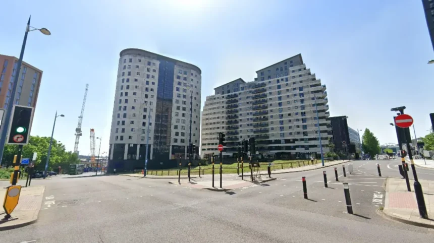
Comparing Birmingham neighbourhoods requires evaluating average house prices, transport infrastructure, school ratings, and local amenities across the West Midlands metropolitan area.
- What Factors Determine Property Prices Across Birmingham Postcodes?
- How Does Public Transport Access Vary Between Central and Suburban Areas?
- Which Neighbourhoods Offer the Highest Concentration of Top-Rated Schools?
- How Do Crime Statistics and Safety Profiles Differ Across Districts?
- How Can Relocators Evaluate Amenities and Local Lifestyle Features?
- What is the most affordable neighbourhood to buy property in Birmingham?
- Which Birmingham areas offer the fastest train commute to London?
- How do I check school catchment zones before moving to Birmingham?
- Are inner-city Birmingham postcodes suitable for family relocation?
- What is the average private rental cost for a two-bedroom flat in Birmingham?
The city of Birmingham spans 267 square kilometres and contains 69 distinct electoral wards. According to the Office for National Statistics, the population of Birmingham reached 1,144,900 residents in the 2021 Census.
Homebuyers and renters relocating to the West Midlands must navigate a property market with significant variations between inner-city postcodes and suburban wards. The average residential house price in Birmingham reached £235,000 in August 2026. Private monthly rents averaged £1,106 during the same period.
Analyzing property metrics and spatial geography prevents financial miscalculation during a residential move. Relocating individuals must assess property valuations, public transport connections, educational performance data, and local crime statistics across target districts.
What Factors Determine Property Prices Across Birmingham Postcodes?
Property prices in Birmingham postcodes depend on historical developments, housing stock density, council tax bands, proximity to economic hubs, and local transportation links.
According to official HM Land Registry data, detached properties in Birmingham average £444,000, semi-detached properties average £276,000, terraced properties average £223,000, and flats average £144,000.
Postcode sectors in the southern territories of the city maintain higher average valuations than northern sectors. Postcodes B13, B15, and B30 command higher median prices due to lower density development and historic housing stock. Postcodes B18 and B19 in the inner northwest feature higher residential densities and lower average purchase costs.
Council tax valuations directly alter monthly occupancy expenses across Birmingham households. Band A properties incur lower annual liabilities, whereas Band D properties incur £2,363 annually in local council charges.
How Does Public Transport Access Vary Between Central and Suburban Areas?
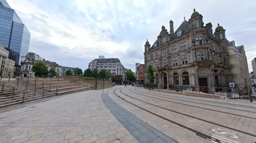
Public transport accessibility varies between high-frequency rail and tram coverage in central wards and reliance on bus networks and private vehicles in peripheral suburbs.
The West Midlands Metro light rail network connects Grand Central station to Wolverhampton through key zones like the Jewellery Quarter and Edgbaston.
Central railway hubs including Birmingham New Street, Moor Street, and Snow Hill provide rail connections across the city core. The CrossCity rail line delivers high-frequency train services running north-south from Sutton Coldfield to Longbridge.
Suburban areas located outside primary rail corridors rely on National Express West Midlands bus routes. Outer locations such as Frankley, Kingstanding, and Shard End require longer journey times for daily central commutes.
Which Neighbourhoods Offer the Highest Concentration of Top-Rated Schools?
Neighbourhoods in the south and north of the city offer the highest concentration of Outstanding-rated primary and secondary schools certified by Ofsted inspection reports.
Sutton Coldfield in postcode B73 features high-performing grammar schools, including Bishop Vesey’s Grammar School and Sutton Coldfield Grammar School for Girls.
Edgbaston and Harborne in postcodes B15 and B17 contain high-performing state and independent schools, including King Edward VI High School for Girls and King Edward’s School.
Admission to state-funded schools in Birmingham relies on strict geographical catchment boundaries and entrance examination scores managed by Birmingham City Council.
How Do Crime Statistics and Safety Profiles Differ Across Districts?
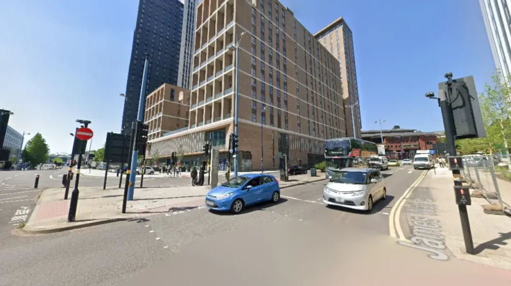
Crime statistics and safety profiles differ across districts based on population density, commercial activity, late-night entertainment zones, and localized socio-economic conditions. Data published by West Midlands Police indicates higher recorded crime figures in central commercial districts, including the B1, B2, and B5 postcodes.
Residential suburbs including Four Oaks, Bournville, and Moseley report lower total criminal offense rates per 1,000 residents.
Relocating buyers must examine police boundary data to assess local burglary, anti-social behavior, and vehicle crime metrics.
How Can Relocators Evaluate Amenities and Local Lifestyle Features?
Relocators can evaluate amenities and lifestyle features by mapping retail districts, public parks, healthcare facilities, and cultural venues across specific postal sectors. The city contains 571 public parks covering over 3,500 hectares of green space, including Sutton Park, Cannon Hill Park, and Lickey Hills Country Park.
Healthcare access centers around major NHS facilities, including the Queen Elizabeth Hospital in Edgbaston and Good Hope Hospital in Sutton Coldfield.
Retail ecosystems vary from large shopping centers like the Bullring to independent high streets in Harborne, Kings Heath, and Moseley.
What is the most affordable neighbourhood to buy property in Birmingham?
The most affordable neighbourhoods to purchase property include Erdington, Perry Barr, and Saltley. These areas offer average residential purchase prices well below the city-wide median of £235,000, making them accessible entry points for first-time buyers.
Which Birmingham areas offer the fastest train commute to London?
Properties located near Birmingham New Street, Moor Street, or International stations offer direct rail links to London Euston and Marylebone in under 80 minutes. The completion of HS2 at Curzon Street will shorten travel times to 49 minutes.
How do I check school catchment zones before moving to Birmingham?
School catchment zones can be verified through the official Birmingham City Council school admissions portal. Parents must enter target postcodes to review historical admission criteria, distance cut-offs, and recent Ofsted rating reports.
Are inner-city Birmingham postcodes suitable for family relocation?
Inner-city postcodes such as B1 and B18 offer high-density flat accommodation suited for young professionals. Suburbs like Harborne, Bournville, and Sutton Coldfield provide semi-detached and detached homes with private gardens and proximity to top-tier schools.
What is the average private rental cost for a two-bedroom flat in Birmingham?
The average private rental cost for a two-bedroom property in Birmingham is £1,009 per month. Rental rates vary, with central postcodes and trendy inner-south districts commanding higher monthly prices than outer northern wards.