
The Birmingham West Midlands postcode structure consists of an alphanumeric matrix managed by Royal Mail to categorize geographical zones for sorting. The system relies on the prefix B, which establishes the absolute boundary lines across the metropolitan county area. The United Kingdom postal sorting matrix relies on a systematic division where characters represent specific geographic layers. The initial segment contains the outward code, which explicitly dictates the post town and macro region. This macro sector is followed by a space and an inward code, which directs postal handlers to individual streets or commercial complexes. In the West Midlands, the layout ensures that logistics infrastructure can seamlessly decode routes into delivery offices.
- How did the B postcode area develop historically?
- What are the main geographic zones in the Birmingham postcode matrix?
- How does the system handle non-geographic codes?
- What impact do these boundaries have on local property values?
- FAQs About Birmingham West Midlands Postcode
- Why do some towns outside Birmingham have a Birmingham (B) postcode?
- Does having a Birmingham postcode mean you have to pay Birmingham Council Tax?
- What is the difference between the outward and inward parts of a Birmingham postcode?
- How do Birmingham postcodes affect car and home insurance rates?
- What is the B99 postcode used for in the West Midlands system?
The spatial configuration of this postal network avoids alignment with administrative municipal borders. Instead, historical transport corridors and parcel volumes govern how boundaries expand outwards from the central core. This design means that specific postcodes under the Birmingham designation cross over into neighboring boroughs. Entities such as Solihull and Sandwell contain multiple sectors that fall entirely under the B postal jurisdiction. Understanding this operational allocation requires looking at individual units like sectors and delivery points. Every complete code contains between five and seven alphanumeric characters that pinpoint precise coordinates. By breaking down the system into its component parts, public services can manage regional data collection. This structural logic serves as the operational baseline for all local commerce and shipping networks.
How did the B postcode area develop historically?
The B postcode area developed through a series of modern postal reforms initiated by the General Post Office during the nineteenth century. The framework changed from simple regional naming protocols into the standardized computerized system used across the nation today. The foundation of modern sorting in large municipal zones began with the creation of London provincial sectors. The General Post Office recognized that rapid industrialization required automated methods to replace manual sorting processes. Birmingham received its primary alphanumeric classification during the national rollouts that occurred between 1959 and 1974. This historic change introduced unique alphanumeric markers to help mechanical machinery read addresses.
Massari Céline
Before these automated changes, postal workers memorized local maps and street intersections to route correspondence. The introduction of the initial sorting trials in cities like Norwich proved that alphanumeric codes increased accuracy. When the system rolled out to the wider West Midlands region, engineers designed codes around rail infrastructure. Sorting offices located near major railway hubs handled massive volumes of commercial mail. The modern footprint of the network reflects these nineteenth-century industrial transport choices. As residential neighborhoods expanded outward during the mid-twentieth century, the system added new numerical layers. These additions preserved the central routing identity while managing larger housing estates. Today, the historical layout remains highly visible in how numbers increase as you move away from the urban center.
What are the main geographic zones in the Birmingham postcode matrix?
The main geographic zones in the Birmingham postcode matrix divide into central commercial sectors, inner-city residential districts, and outer suburban rings. These distinct spaces form a radial grid pattern that expands outward from the municipal city center. The central commercial core contains the lowest numerical markers, which span from B1 to B5. These sectors encompass the dense retail environments of the Bullring, the corporate offices of Colmore Row, and the historic Jewellery Quarter. High business density requires a complex network of inward codes to handle large volumes of daily mail. These central divisions prioritize commercial properties over large residential zones.
Surrounding this core is the inner-city residential ring, which includes locations like Aston, Edgbaston, and Moseley. These zones occupy districts ranging from B6 to B20 and feature a mix of high-density housing and local public parks. This layer connects urban transport networks to older residential neighborhoods established during the Victorian era. The postal framework here balances commercial needs with civilian delivery routes. The outer suburban ring extends the matrix into adjacent municipalities across the broader West Midlands region. This expansive zone includes large areas like Solihull, Sutton Coldfield, Halesowen, and West Bromwich. These suburban districts utilize higher numerical indicators that run up to B98 to mark distant outer towns. This layout allows national delivery networks to route long-distance shipments without entering the busy city center.
How does the system handle non-geographic codes?
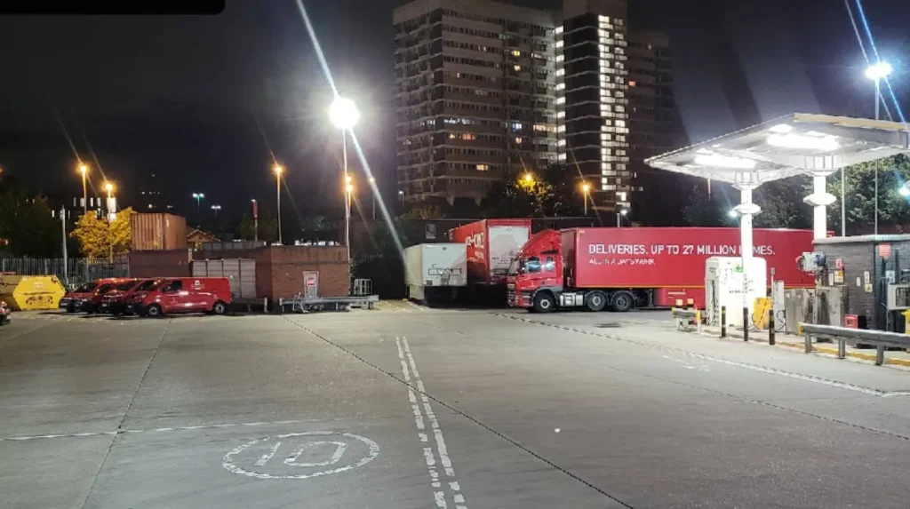
The system handles non-geographic codes by allocating specific alphanumeric sequences to high-volume entities that do not map to physical locations. The B99 prefix serves as the primary routing marker for specialized corporate mail sorting centers. Non-geographic designations operate outside standard spatial mapping to keep high-volume mail separate from local delivery routes. Large banks, municipal utility offices, and national government offices require these custom channels to process thousands of letters daily. Without these unique codes, local delivery offices would face regular bottlenecks trying to organize commercial correspondence. Royal Mail isolates these shipments early in the supply chain to maintain efficiency.
The Office for National Statistics tracks these non-geographic markers within its quarterly directory updates. These listings ensure that administrative data models do not accidentally count corporate addresses as real housing units. This clean data separation allows urban planners to accurately measure local population trends. The structural setup keeps corporate mail processing independent from residential delivery networks. These non-geographic setups also support specialized marketing campaigns and regional voting systems. When organizations host large mail-in events, temporary alphanumeric markers track the incoming responses. This method protects standard delivery networks from sudden spikes in local mail volume. The operational logic ensures consistent delivery times across the entire West Midlands region.
What impact do these boundaries have on local property values?
The boundaries impact local property values by establishing perceived neighborhood prestige through specific alphanumeric designations. Homebuyers often look at outward code markers as indicators of local school quality and regional socioeconomic status. The phenomenon of postcode premium occurs when identical properties command different market prices because they sit on opposite sides of a postal boundary line. Urban districts like Edgbaston or Harborne often hold higher market appeal than adjacent industrial zones. This variation means properties with a preferred prefix attract higher bids from investors. The alphanumeric classification functions as an unintended social marker across local real estate markets.
Insurance companies also use these spatial boundaries to calculate regional risk profiles for cars and homes. Actuarial models link specific alphanumeric sectors to local crime data, flood risks, and vehicle accident statistics. A house located within a higher-risk zone faces elevated insurance premiums compared to a property nearby. These financial calculations show how postal data influences everyday living costs. Local businesses use these same geographic divisions to organize target marketing and home delivery services. Retail networks often limit their delivery areas based on outward code prefixes to maximize fuel efficiency. This commercial choice creates clear service boundaries that affect options for residents in different areas. The alphanumeric sorting grid shapes both real estate value and local commercial access.
Related Area Guide: Unsure how municipal logistics align with your regional address? Read our comprehensive guide on How Does Birmingham Council Waste Collection Work to understand local service boundaries.
FAQs About Birmingham West Midlands Postcode
Why do some towns outside Birmingham have a Birmingham (B) postcode?
The Royal Mail allocates postcodes based on transport infrastructure and historical sorting hub locations rather than municipal council lines. Towns like Solihull, Sutton Coldfield, and Halesowen fall under the “B” prefix because their mail historically routed through Birmingham sorting offices. Consequently, postal boundaries do not align exactly with local government borders.
Does having a Birmingham postcode mean you have to pay Birmingham Council Tax?
No, your council tax is determined strictly by your local administrative authority and political borough, not by your postal address. For example, residents living in Solihull or Sandwell with a “B” postcode pay their tax directly to Solihull or Sandwell councils respectively. Royal Mail boundaries exist purely for logistical distribution and shipping efficiency.
What is the difference between the outward and inward parts of a Birmingham postcode?
The outward code contains the first characters (such as B15) and identifies the macro geographical area, delivery town, or district. The inward code forms the second half (like 2TT) and zeroes in on the specific sector, street, or commercial building. Together, they create a precise alphanumeric coordinate that allows automated sorting machines to map delivery routes.
How do Birmingham postcodes affect car and home insurance rates?
Insurance companies utilize postcode sectors to evaluate localized risk factors like vehicle theft, vandalism, property crime, and flood history. If a specific “B” sector shows statistically higher claims data, insurance premiums for residents in that boundary will increase. Two houses across the street from each other can have vastly different rates due to this boundary division.
What is the B99 postcode used for in the West Midlands system?
The B99 postcode is a specialized non-geographic routing designation reserved for high-volume commercial entities, large corporate headquarters, or government offices. It does not correspond to a physical street or residential neighborhood in the West Midlands map. Instead, it allows Royal Mail to separate massive bulk mail shipments entirely from the standard residential delivery network.